
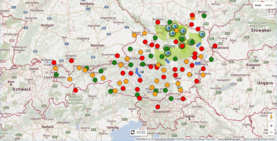
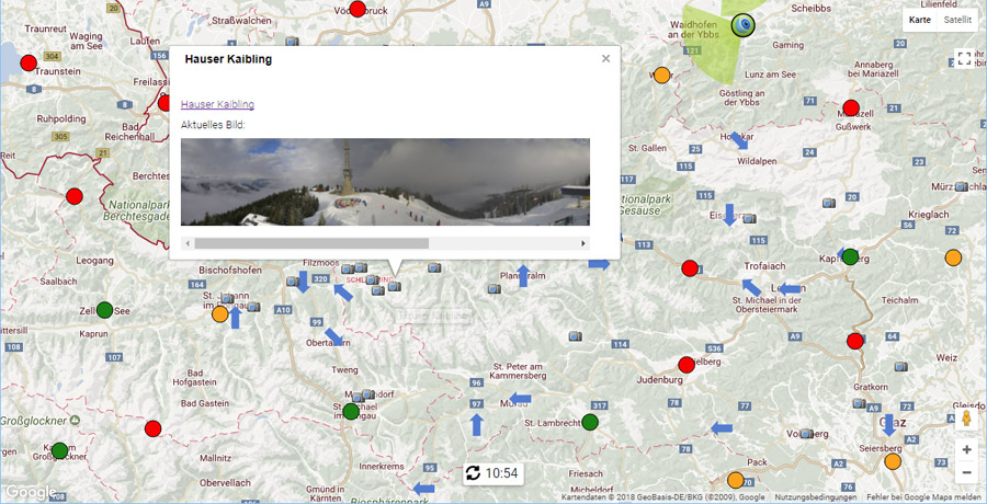
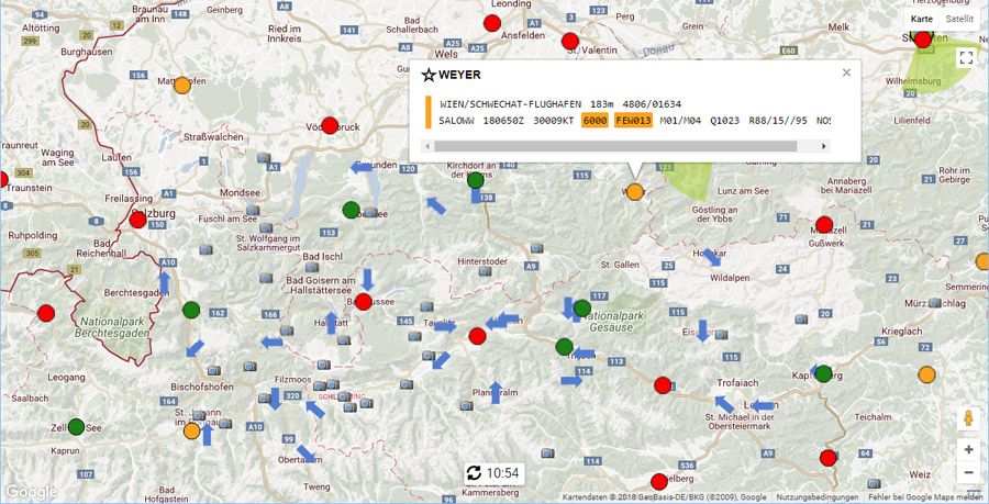
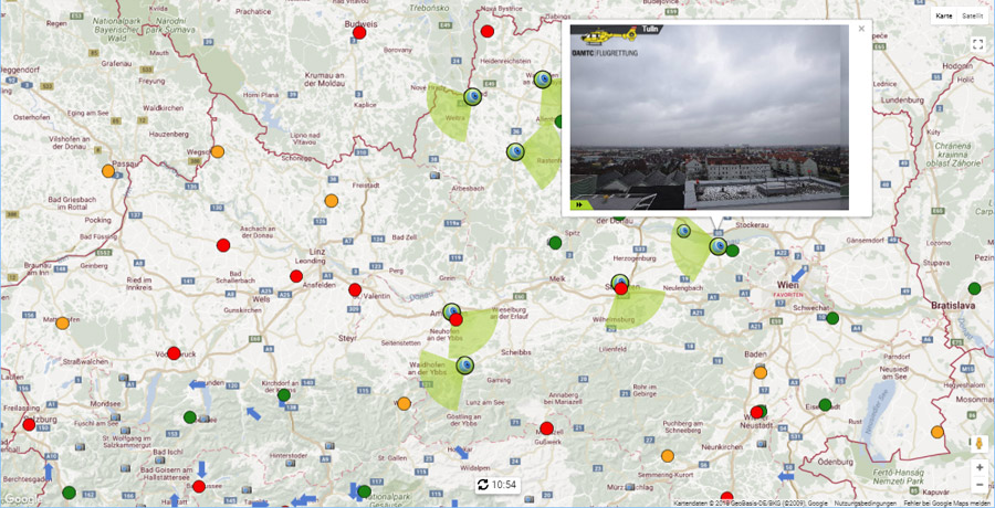
Map with interactive weather data and webcam display

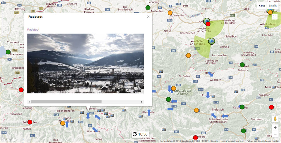
Utilise Panomax as a source of information for pilots. Weather stations and cameras are displayed live within an overview map. Our software automatically analyses weather data and colour codes them according to safety regulations. The overview map can be customised through various interactive features.


